Morris Farm Trail (5)

Map of Glenkirk Elementary School area in Gainesville, Virginia, showing streets and a marked route with waypoints, nearby residential areas, and green spaces.

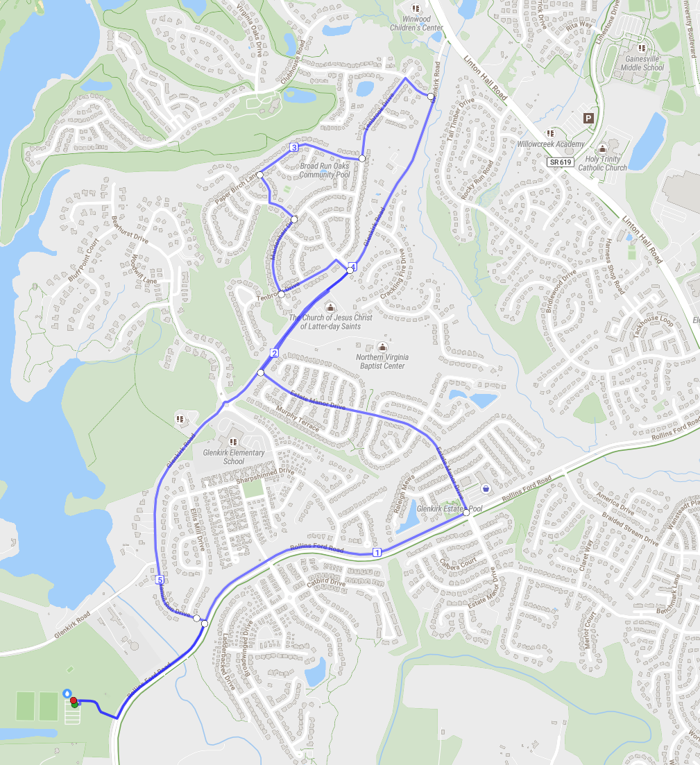
Glenkirk/Tenbrook (5)

Map showing a blue walking route through residential area with landmarks like Glenkirk Elementary School and various churches.

Braided Stream/LH (5.5)

Map showing a route highlighted in blue, starting at a point on the left and ending at Broad Run Village on the right. It includes various residential areas, roads like Glenkirk Road and Linton Hall Road, landmarks such as Glenkirk Elementary School and Bristow Run Elementary School, along with parks and churches.

Crime Corner (7)

Map showing a route from Broad Run Park to Gainesville, VA, with specific roads and landmarks marked, including Lee Highway, Lakeview, and Virginia Oaks Drive. Surrounding areas and bodies of water are visible.

Fake City (7)

Map showing roads and residential areas in Gainesville, Virginia, with landmarks like Gainesville Middle School and Broad Run Oaks Community Pool.